Highlights
- The ruined bungalows — The Ridge and a dozen others along the estate roads — walk, don't drive; some are private..
- Haldi Pahar — A 40-minute climb for sunrise over the sal forest and the railway line..
- Lattu Pahar — Boulder hill 3 km out, a picnic spot with a view to the Jharkhand border..
- Simultala station — A Raj-era station with a branch to the old resort road — a small, lovely piece of railway history..
In the late nineteenth century a doctor in Calcutta prescribed the dry, clean air of the Chota Nagpur fringe for tuberculosis and nerves, and a string of 'health resorts' grew up along the railway west of Jasidih — Madhupur, Giridih, Deoghar, and the quietest of them, Simultala. Bengali families built bungalows with wide verandahs and names like The Ridge and Shanti Niketan; Tagore's circle came, Satyajit Ray filmed here, and for half a century the winter season was a fixture of Calcutta's middle-class calendar.
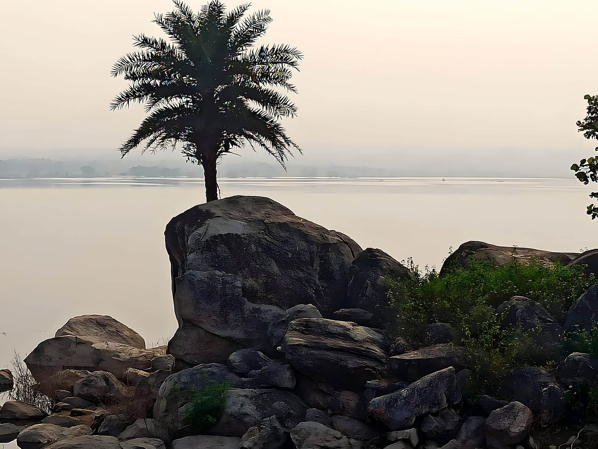
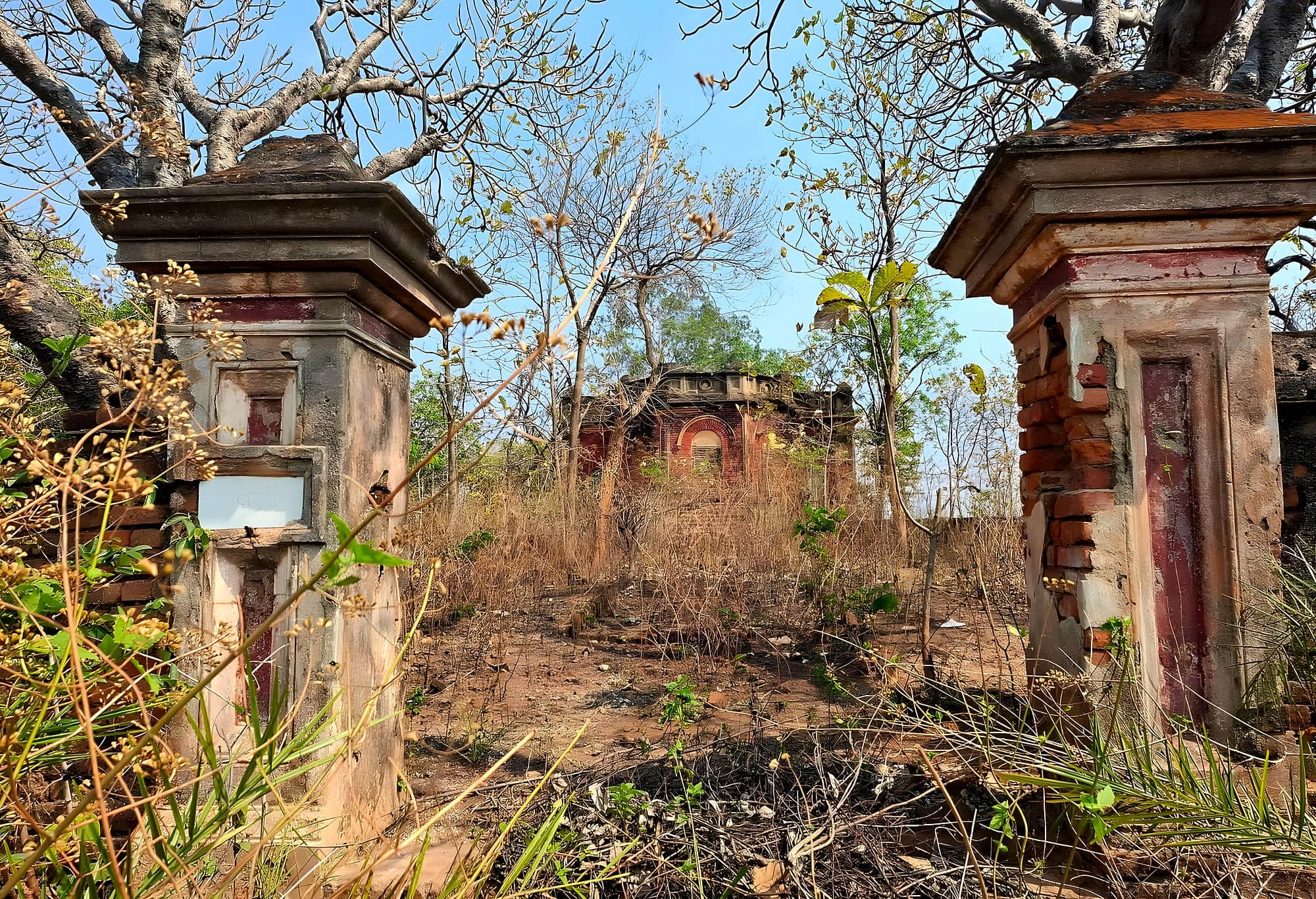
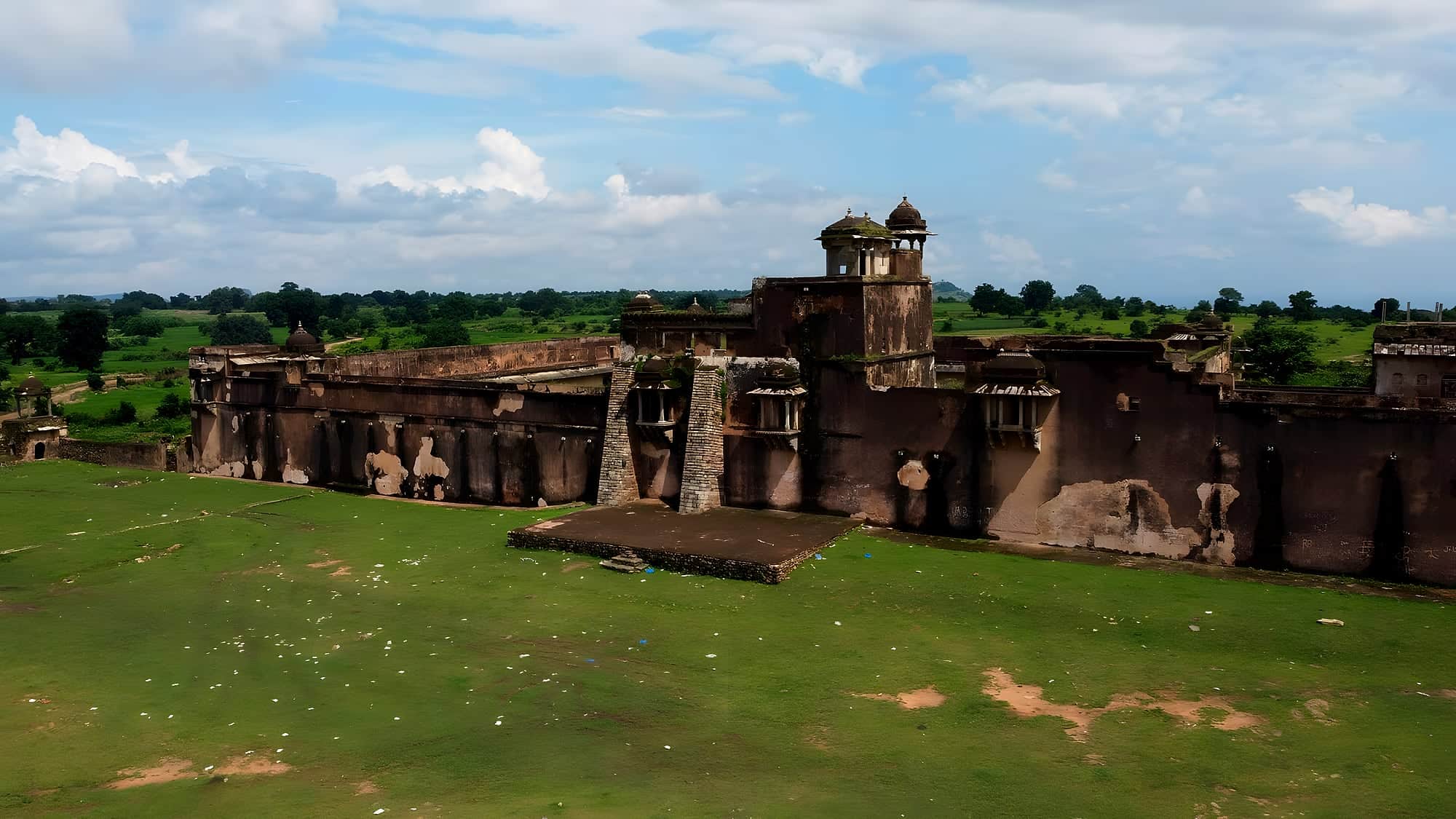
The visitors stopped coming in the 1970s and the bungalows fell into the gentle ruin you see now: columns in the undergrowth, roofless drawing rooms, a tank with stone ghats. The village lives on around them, and the landscape is what it always was — rolling red-earth country, sal and mahua and palash trees that flower scarlet in March, rocky outcrops, a river you can walk along for hours.
There's not much to 'do', which is the point. Walk the old estate roads at dawn, climb the low Haldi Pahar for the view, picnic at the Lattu Pahar rocks, take a car to the Nagi–Nakti bird sanctuaries or the Jain hill at Lachhuar. In the evenings there are a few old guesthouses that still lay out tea on the verandah. It is a place for a long weekend with a book, and a rare chance to see a chapter of Bengal's history in Bihar's hills.
Chapter 01
How it came to be
The 'change of air' was a Bengali institution: from the 1880s Calcutta's doctors sent the consumptive and the exhausted west along the new railway to the dry uplands of what was then Bihar's Santhal Parganas fringe. Simultala, on a rise above the line between Jasidih and Jhajha, grew a colony of bungalows — Bengali names, pillared verandahs, tanks with ghats — and a social season that ran from Durga Puja to Holi. Writers came; Satyajit Ray used the landscape; generations of children spent their winters here.
The decline came with cheaper travel to real hill stations and the political troubles of the 1970s. The families stopped coming, the caretakers aged, the roofs went. Today the colony is a ruin in the forest and a village lives around it.
Chapter 02
What it's like now
There is nothing to tick off, and that is the point. You walk: along the red-earth estate roads between tumbledown bungalows, up Haldi Pahar at dawn for a view across sal forest to the railway, out to the Lattu Pahar boulders for a picnic. The air is dry and clean; the nights are cold and starry; palash trees flame red in March. A handful of guesthouses survive in old bungalows and lay tea on the verandah.
Pair it with the Nagi–Nakti birds and with Deoghar's Baidyanath temple across the Jharkhand border, and you have Bihar's gentlest three-day escape — one nobody has heard of.
Chapter 03
What to see
- 01
The ruined bungalows
The Ridge and a dozen others along the estate roads — walk, don't drive; some are private.
- 02
Haldi Pahar
A 40-minute climb for sunrise over the sal forest and the railway line.
- 03
Lattu Pahar
Boulder hill 3 km out, a picnic spot with a view to the Jharkhand border.
- 04
Simultala station
A Raj-era station with a branch to the old resort road — a small, lovely piece of railway history.
- 05
Palash season
Late February–March, when the flame-of-the-forest turns the whole country red.
Chapter 04
A perfect day
6:00
Haldi Pahar for sunrise — 40 minutes up, through sal.
8:30
Breakfast on the verandah; a slow walk through the bungalow colony.
11:00
Lattu Pahar rocks with a picnic.
15:00
Simultala station and the village bazaar; the tank ghats at dusk.
Next day
Nagi–Nakti at dawn, or Deoghar.
Chapter 05
Things to do
Walking the estate roads
Flat, shaded, 2–3 hours; respect occupied bungalows.
Haldi Pahar sunrise
Easy climb; carry a torch for the start.
Palash photography
Late February–March, when the forest turns red.
Chapter 06
Stay, eat, celebrate
Where to stay
A few old-bungalow guesthouses, booked by phone; they fill with Bengali families in December. Carry cash.
Where to eat
What the guesthouse cooks — Bengali home food; the bazaar has tea, samosa and little else.
Practical
Getting there
Fly
Deoghar Airport (DGH) 60 km; Patna (PAT) 230 km.
Train
Simultala station is on the Delhi–Howrah main line between Jasidih and Jhajha — a handful of expresses stop; otherwise change at Jasidih or Jhajha.
Road
From Jamui (50 km) or Deoghar (60 km); 5–6 hours from Patna.
On the map · Simultala is at 24.7342°N, 86.5281°E in Jamui district, about 222 km (5½ h) by road from Patna.
Before you go · Best time to visit · Safety, dress code & money · What to eat nearby
Practical
Distances from Simultala
Road distance and realistic driving time on Bihar roads — plan around these, not the straight line on a map.
From the gateway cities
| Bhagalpur → Simultala | 95 km | 2 h |
| Gaya → Simultala | 201 km | 5 h |
| Darbhanga → Simultala | 221 km | 5½ h |
| Patna → Simultala | 222 km | 5½ h |
| Muzaffarpur → Simultala | 251 km | 6 h |
To nearby places
| Simultala → Nagi & Nakti Bird Sanctuaries | 42 km | 1 h |
| Simultala → Bhimbandh Wildlife Sanctuary | 50 km | 1 h |
| Simultala → Mandar Hill | 70 km | 1½ h |
| Simultala → Sultanganj | 79 km | 1½ h |
| Simultala → Ashok Dham, Lakhisarai | 85 km | 2 h |
| Simultala → Munger | 93 km | 2 h |
| Simultala → Bhagalpur | 95 km | 2 h |
| Simultala → Kakolat Falls | 117 km | 2½ h |
| Simultala → Vikramshila | 131 km | 3 h |
| Simultala → Kanwar Lake | 138 km | 3 h |
| Simultala → Pawapuri | 140 km | 3½ h |
| Simultala → Kusheshwar Asthan | 144 km | 3½ h |
Estimates: road ≈ 1.3 × straight-line, ~40 km/h average. All Bihar distances →