Highlights
- The underground chambers — Torch needed; cool even in May..
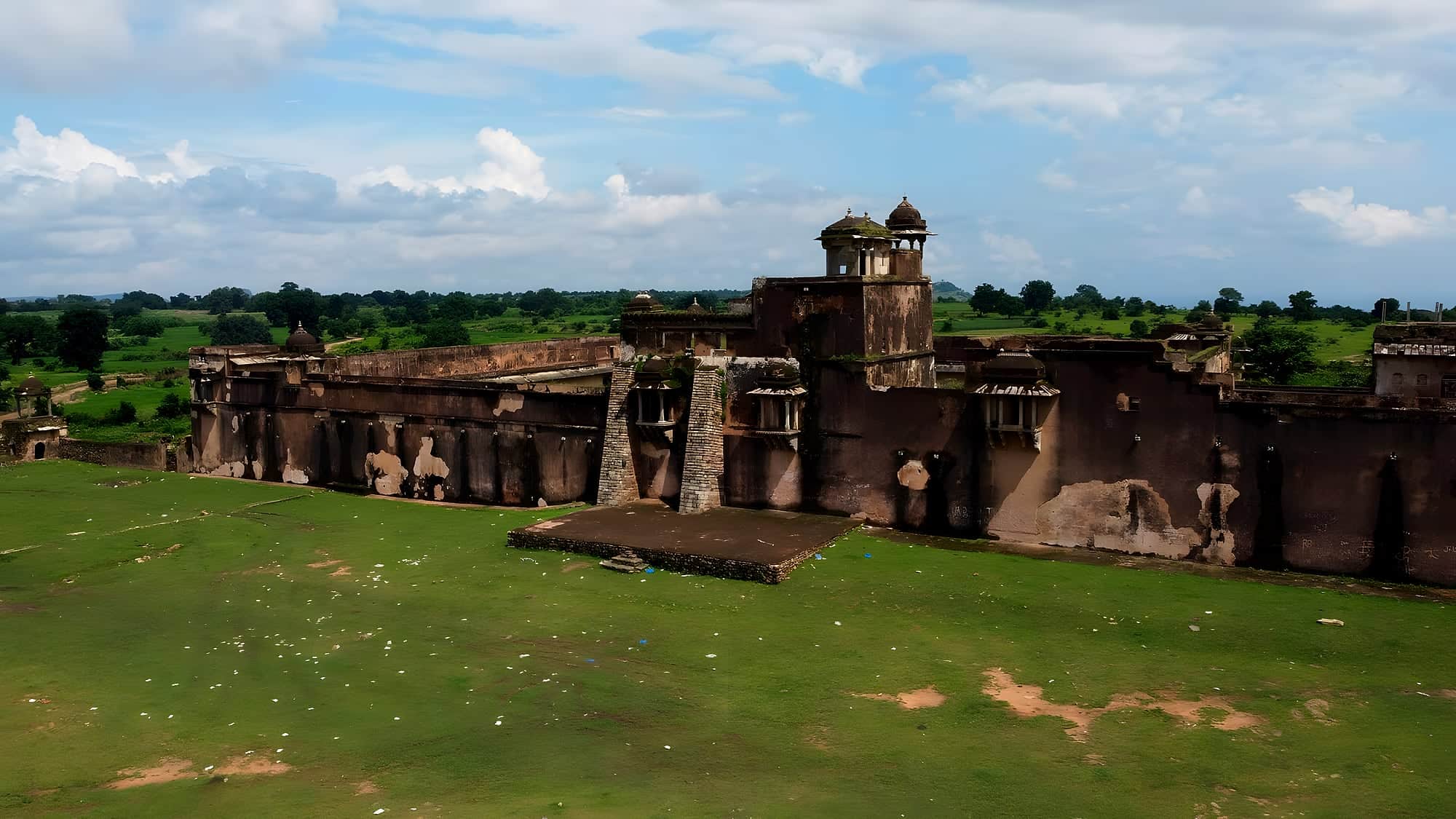
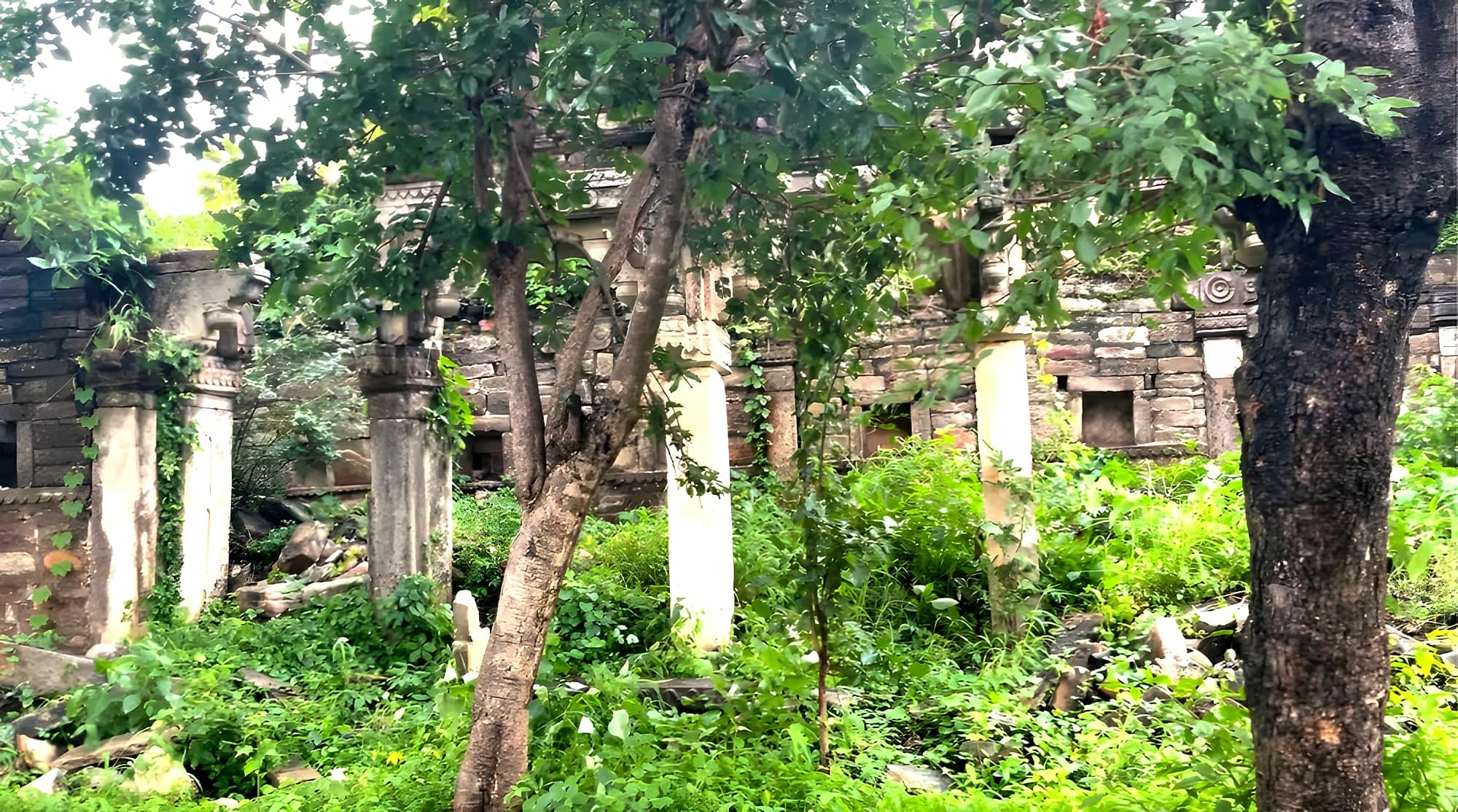
- Palace and tank — Carved stone, lotus-shaped tank, collapsed domes..
- The cliff edge — Sheer drop to the Durgavati; eagles below you..
- Durgavati reservoir — At the foot of the hill, for a swim or a boat..
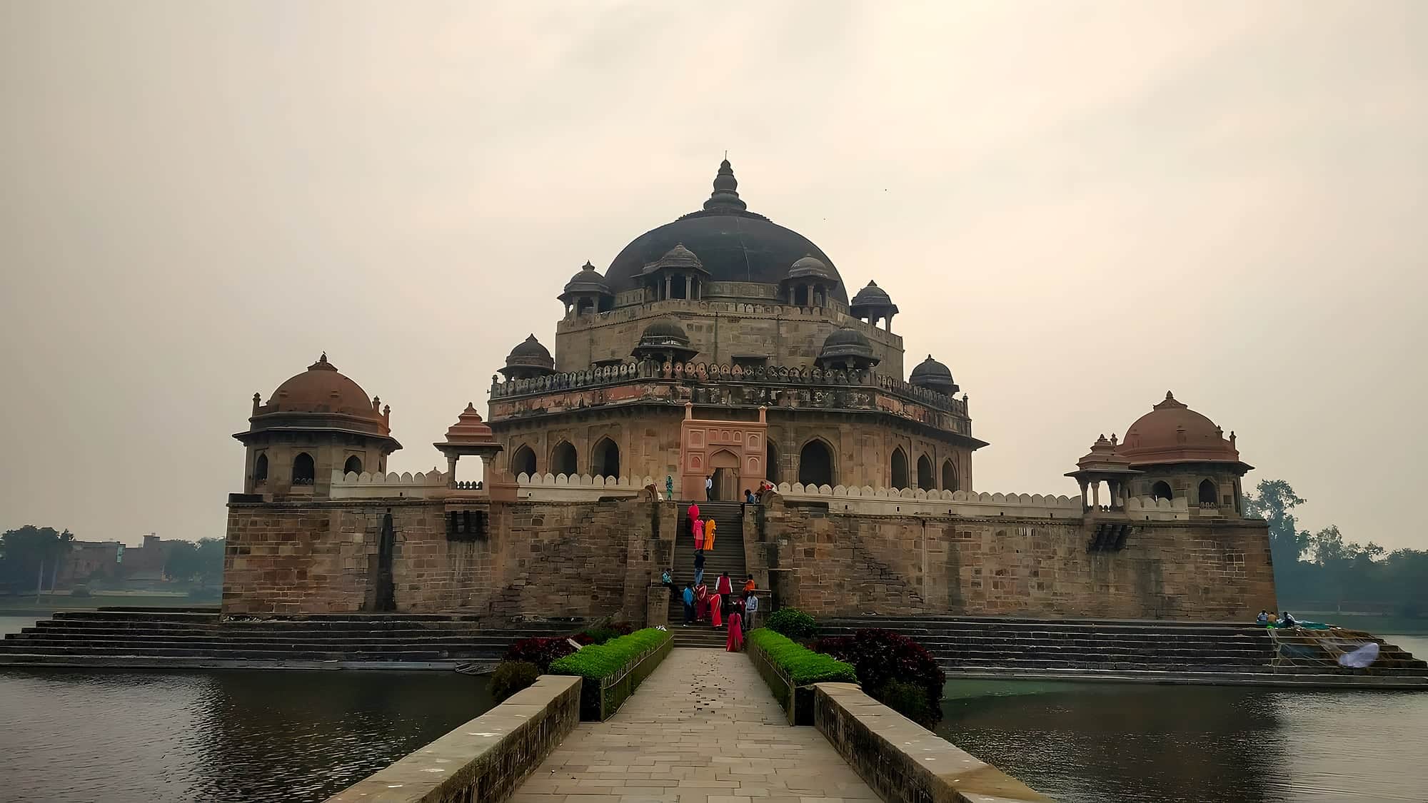
Sher Shah Suri, who took Delhi from Humayun and built the Grand Trunk Road, began his career at Sasaram and fortified the Kaimur range around it. Shergarh — 'Sher's fort' — crowns a hill above the Durgavati river, 35 km from his tomb, laid out so that the only approach is a steep path on the north side; the other faces fall away in cliffs.
Inside the wall are the remains of a palace, a mosque, a large tank and, most memorably, a warren of underground rooms cut into the rock — cool, dark and said to connect to the valley. Local belief holds the fort was later a hideout; archaeologists have barely touched it.
The walk up through dry sal forest takes around 45 minutes and the plateau at the top is wide, grassy and silent, with a long view over the Durgavati reservoir. Bring water, a torch for the chambers, and a local guide from Chenari.
Chapter 01
What to see
- 01
The underground chambers
Torch needed; cool even in May.
- 02
Palace and tank
Carved stone, lotus-shaped tank, collapsed domes.
- 03
The cliff edge
Sheer drop to the Durgavati; eagles below you.
- 04
Durgavati reservoir
At the foot of the hill, for a swim or a boat.
Practical
Getting there
Fly
Varanasi (VNS) 130 km; Patna (PAT) 170 km.
Train
Sasaram 35 km; Kudra 20 km.
Road
From Sasaram via Chenari; last 5 km rough track to the forest gate.
On the map · Shergarh Fort is at 24.9583°N, 83.7556°E in Rohtas district, about 204 km (5 h) by road from Patna.
Before you go · Best time to visit · Safety, dress code & money · What to eat nearby
Practical
Distances from Shergarh Fort
Road distance and realistic driving time on Bihar roads — plan around these, not the straight line on a map.
From the gateway cities
| Gaya → Shergarh Fort | 165 km | 4 h |
| Patna → Shergarh Fort | 204 km | 5 h |
| Muzaffarpur → Shergarh Fort | 269 km | 6½ h |
| Darbhanga → Shergarh Fort | 328 km | 8 h |
| Bhagalpur → Shergarh Fort | 425 km | 10½ h |
To nearby places
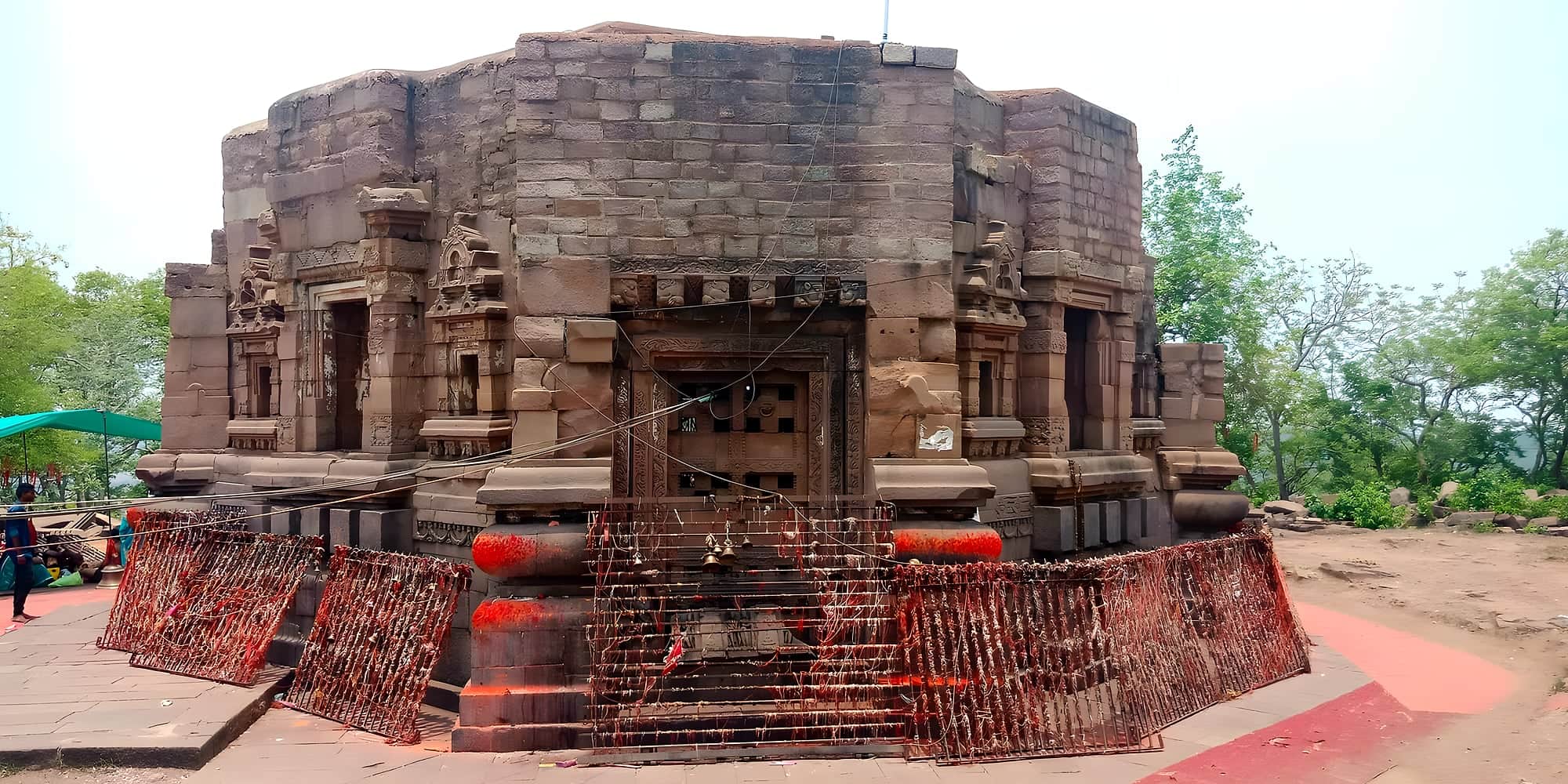
| Shergarh Fort → Mundeshwari Temple | 27 km | 45 min |
| Shergarh Fort → Sasaram | 34 km | 0½ h |
| Shergarh Fort → Bakhtiyar Khan's Tomb, Chainpur | 34 km | 0½ h |
| Shergarh Fort → Dhua Kund & Manjhar Kund | 39 km | 0½ h |
| Shergarh Fort → Tutla Bhawani | 47 km | 1 h |
| Shergarh Fort → Rohtasgarh Fort | 53 km | 1 h |
| Shergarh Fort → Telhar Kund & Karkatgarh | 53 km | 1 h |
| Shergarh Fort → Buxar | 92 km | 2 h |
| Shergarh Fort → Deo Sun Temple | 99 km | 2 h |
| Shergarh Fort → Jagdishpur & Arrah | 114 km | 2½ h |
| Shergarh Fort → Gaya | 165 km | 4 h |
| Shergarh Fort → Bodh Gaya | 166 km | 4 h |
Estimates: road ≈ 1.3 × straight-line, ~40 km/h average. All Bihar distances →