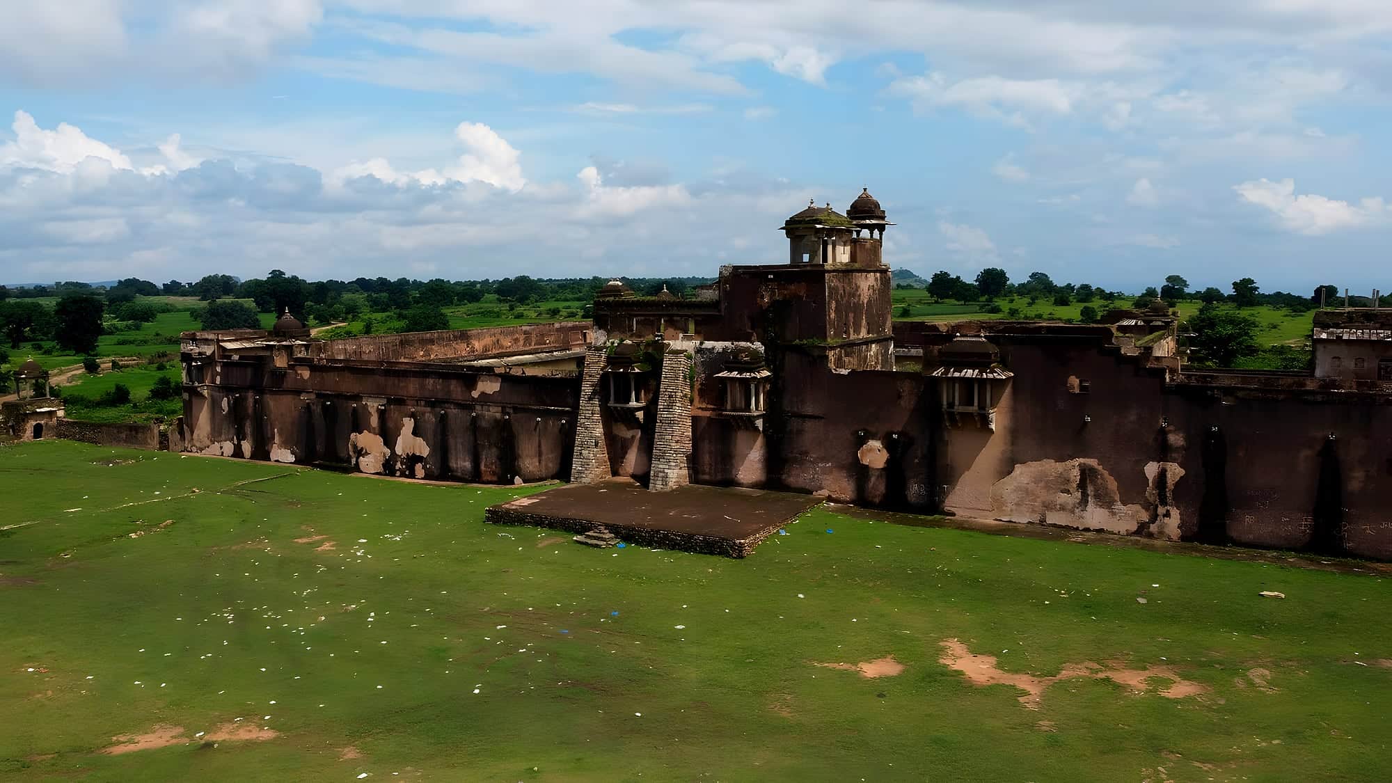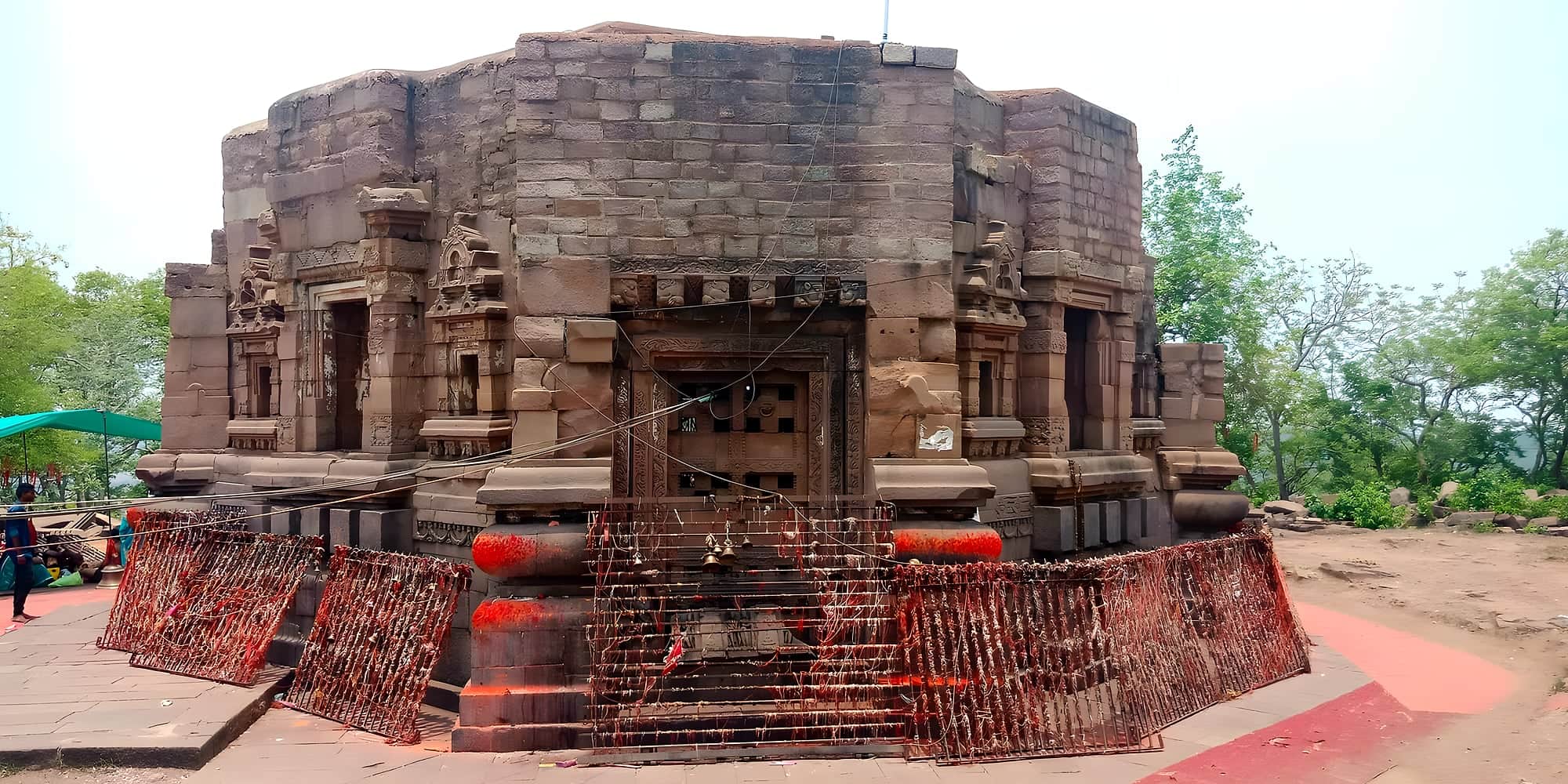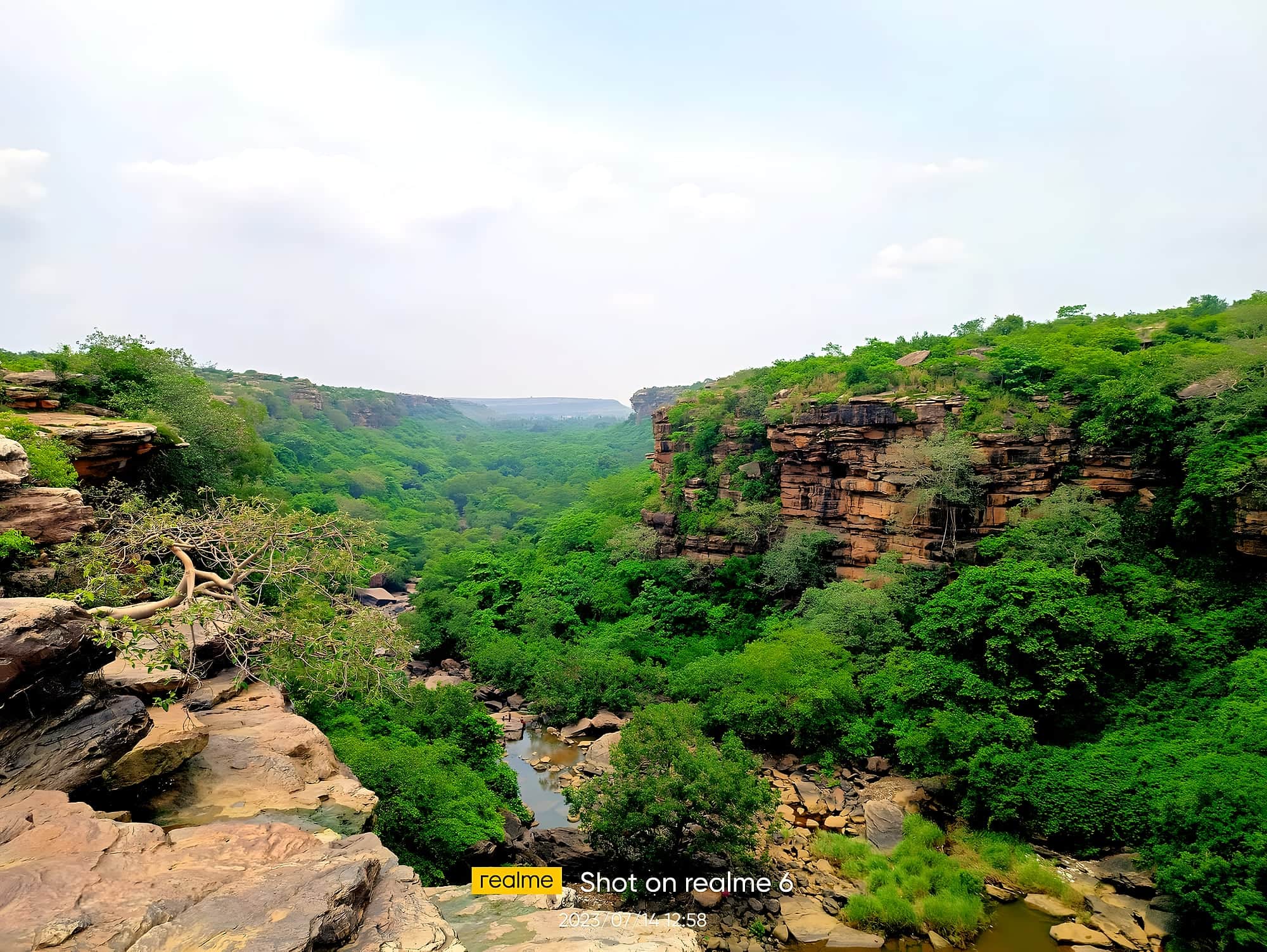
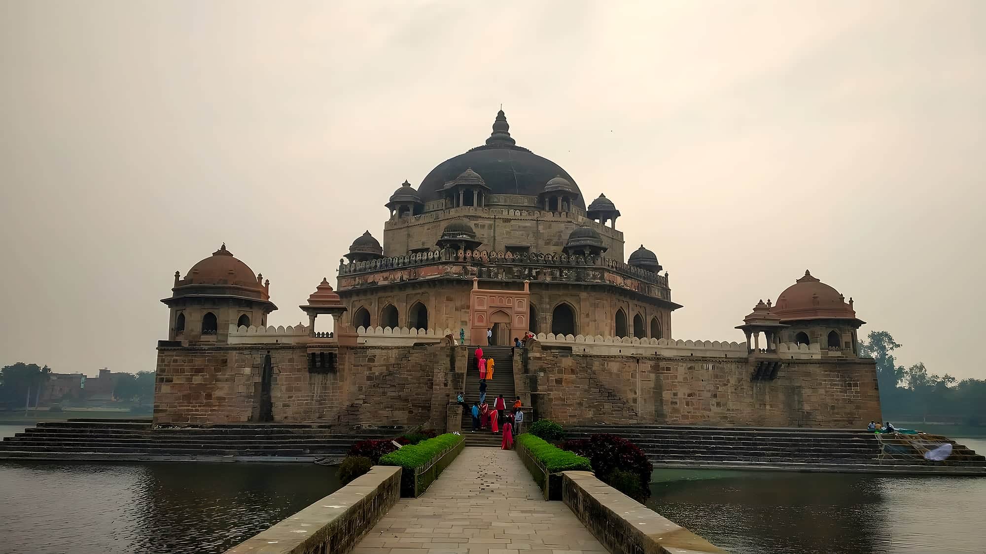
Highlights
- Dhua Kund — Viewpoint on the rim; the gorge is deep and unfenced in places.
- Manjhar Kund — Broad shallow pool, safe to wade at the edges; busy on weekends and during the September mela..
- Tutla Bhawani — 40 km south-west — a shrine in a canyon beside a fall; a new footbridge and steps..
- Karkat Garh — On the Karmanasa, 70 km; crocodile sanctuary at the base, an eco-tourism site with huts..
The Kaimur range is the eastern end of the Vindhyas, a sandstone plateau that runs from Madhya Pradesh into Bihar and stops, abruptly, above Sasaram. Streams that gather on top have nowhere to go but over the edge, and in the rains the whole escarpment runs with water. Two falls are close enough to the road to make a day of.
Manjhar Kund is the gentle one: the Kao river slides over a broad shelf of rock into a shallow, wide pool where families bathe, picnic and play cricket on the ledges. In September a fair fills the forest around it. A few kilometres further the same river reaches Dhua Kund — 'the smoke pool' — and plunges into a gorge; the drop is so high that the water breaks into mist before it lands, and from the top you look down into a cloud. The English painters Thomas and William Daniell came here in 1790 and their aquatint of 'Dhuah Koonde' is in the British Library.
There are more, if you have a car and a local driver: Tutla Bhawani, where a goddess shrine sits beside a fall in a narrow canyon, and Karkat Garh on the Karmanasa river, with a crocodile sanctuary at its foot. Together with Rohtasgarh fort and Sher Shah's tomb, the Kaimur edge is Bihar's best short wild weekend — and almost unknown.
Chapter 01
How it came to be
The Kaimur scarp has sent water over its edge since the Vindhyas rose, and the Kao river's two falls have been bathing and picnic places for Sasaram as long as there has been a Sasaram. Their one moment of fame came in 1790 when the English painters Thomas and William Daniell, travelling up the Grand Trunk Road, climbed to Dhua Kund and made the aquatint that is now in the British Library — a gorge of smoke-like spray that has not changed.
Recent years have brought a road, steps and railings at Manjhar Kund, and the Rohtas district's push to open the Kaimur edge — Tutla Bhawani's footbridge, the Karkat Garh eco-huts — as a destination.
Chapter 02
What it's like now
In the monsoon the drive from Sasaram ends at a shelf of rock where the Kao spreads into a dozen channels and slides into Manjhar Kund's pool — wide, brown-green, shallow at the edges, with families wading and children leaping. A few kilometres on, Dhua Kund is a different animal: the same river narrows and leaps into a deep slot in the plateau, and you stand on the rim looking down into a cloud. There is no fence worth the name; the view is the reward and the care is yours.
Add Tutla Bhawani if you have the day — a goddess shrine beside a fall at the end of a narrow canyon, a new bridge over the stream — and you have seen the three best waterfalls in Bihar in one go.
Chapter 03
What to see
- 01
Dhua Kund
Viewpoint on the rim; the gorge is deep and unfenced in places. Best August–October.
- 02
Manjhar Kund
Broad shallow pool, safe to wade at the edges; busy on weekends and during the September mela.
- 03
Tutla Bhawani
40 km south-west — a shrine in a canyon beside a fall; a new footbridge and steps.
- 04
Karkat Garh
On the Karmanasa, 70 km; crocodile sanctuary at the base, an eco-tourism site with huts.
- 05
Kaimur Wildlife Sanctuary
The plateau top — leopard, sloth bear, chinkara, and the Rohtasgarh ramparts along its edge.
Chapter 04
A perfect day
6:00
Sher Shah's tomb in Sasaram at opening.
8:00
Drive south; Manjhar Kund by 9, before the crowds — wade, swim at the edges.
10:30
Dhua Kund rim viewpoint; walk the plateau edge.
12:30
Picnic lunch, or dhabas back on the Dehri road.
14:00
Tutla Bhawani (40 km) for the canyon shrine, or Rohtasgarh's approach for tomorrow.
Chapter 05
Things to do
Bathing at Manjhar Kund
Shallow edges are fine; avoid the base of the fall in August.
Rim walk at Dhua Kund
Unfenced; wear grippy shoes, keep children close.
Kaimur plateau drive
Rohtasgarh, Tutla Bhawani, Karkat Garh — a loop for a second day.
Chapter 06
Stay, eat, celebrate
Where to stay
Sasaram or Dehri-on-Sone; Forest Department huts at Karkat Garh by advance booking.
Where to eat
Seasonal stalls at Manjhar Kund; otherwise carry food. GT Road dhabas in Sasaram for dinner.
Festivals & seasons
Manjhar Kund mela in September (after Anant Chaturdashi) — a day of bathing and fairground.
In pictures
All 2 Dhua Kund & Manjhar Kund photos →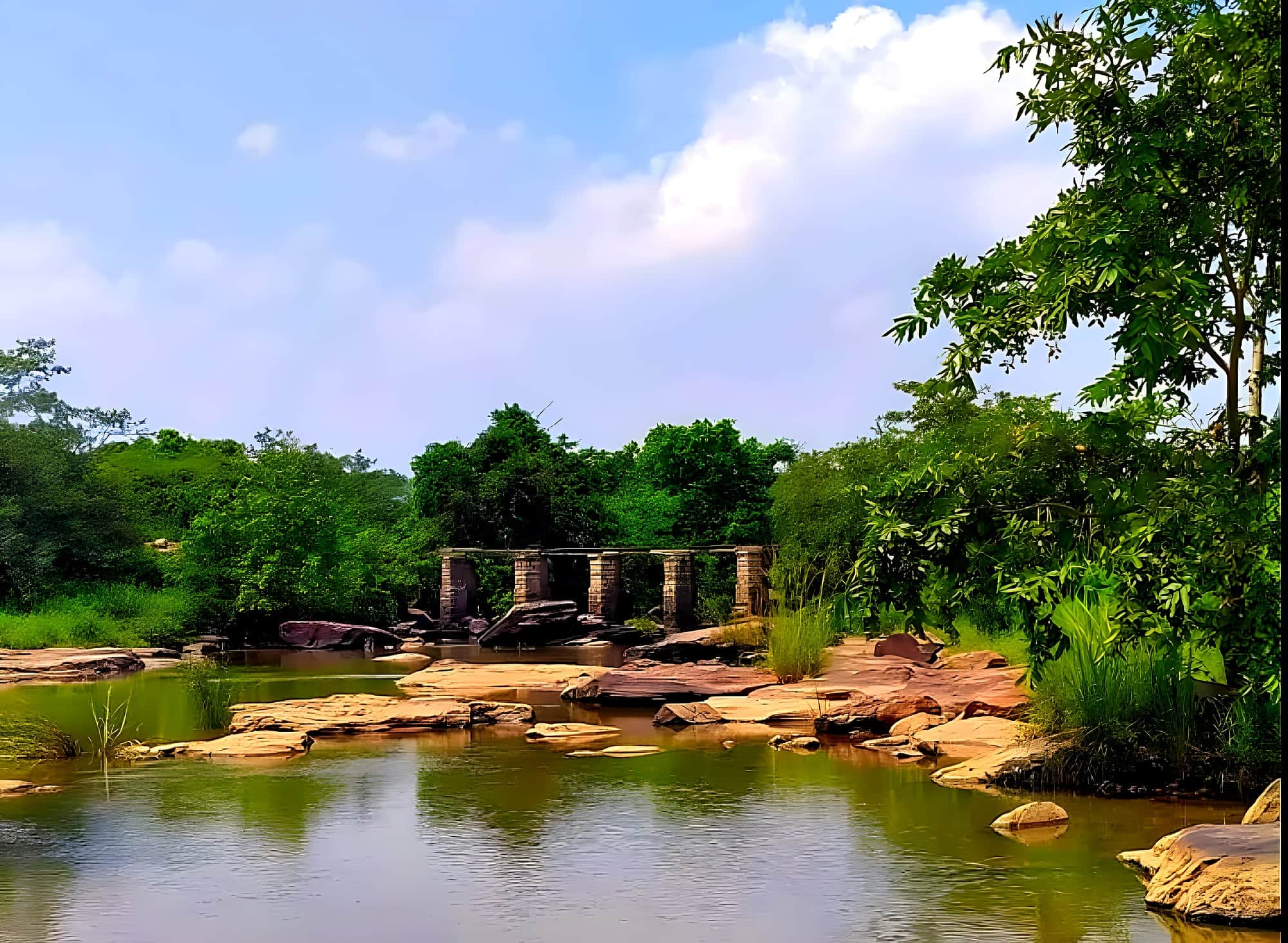
Practical
Getting there
Fly
Varanasi (VNS) 120 km; Gaya (GAY) 130 km; Patna (PAT) 160 km.
Train
Sasaram Junction 20 km, on the Delhi–Howrah Grand Chord — direct trains from Delhi, Kolkata, Patna, Varanasi.
Road
From Sasaram take the Dehri road and turn south at Sheosagar; 20–25 km, about 45 minutes. Hire a car in Sasaram — there is no public transport.
On the map · Dhua Kund & Manjhar Kund is at 24.8305°N, 84.0138°E in Rohtas district, about 185 km (4½ h) by road from Patna.
Before you go · Best time to visit · Safety, dress code & money · What to eat nearby
Practical
Distances from Dhua Kund & Manjhar Kund
Road distance and realistic driving time on Bihar roads — plan around these, not the straight line on a map.
From the gateway cities
| Gaya → Dhua Kund & Manjhar Kund | 129 km | 3 h |
| Patna → Dhua Kund & Manjhar Kund | 185 km | 4½ h |
| Muzaffarpur → Dhua Kund & Manjhar Kund | 257 km | 6 h |
| Darbhanga → Dhua Kund & Manjhar Kund | 311 km | 7½ h |
| Bhagalpur → Dhua Kund & Manjhar Kund | 394 km | 9½ h |
To nearby places
Estimates: road ≈ 1.3 × straight-line, ~40 km/h average. All Bihar distances →